

The Real Role of Surf Forecasting for Every Surfer

TL;DR:
Surf forecasting combines ocean science, atmospheric data, and local observations to guide safer and better surfing decisions. Understanding variables like swell, wind, tide, and model limitations enhances session planning and safety, especially in avoiding hazards like rip currents. Comparing multiple forecast models and real-time cues improves reliability, making forecasting a valuable, probabilistic tool rather than an exact prediction.
Most surfers glance at a star rating, check the wave height, and call it a plan. But the role of surf forecasting goes far deeper than that. A genuine surf forecast blends ocean science, atmospheric data, wave modeling, and local observation into a decision-support system that can mean the difference between the best session of your life and a genuinely dangerous situation in the water. Whether you’re a beginner at Praia Areia Branca or a seasoned surfer chasing swells near Peniche, understanding how surf forecasts actually work will change how you surf.
Table of Contents
Key takeaways
Point | Details |
Forecasts are multi-layered | A surf forecast includes swell, period, wind, and tide, not just a single wave height number. |
Models disagree often | Major models disagree 85% of the time, so cross-referencing sources increases confidence. |
Safety is tied to forecasting | Rip currents cause over 80% of lifeguard rescues, and forecasts help identify the conditions that create them. |
Local knowledge fills the gap | Forecasting errors spike in the “last mile” of wave transformation, making webcams and local reports critical. |
Forecasts reward consistency | Tracking forecast accuracy over time at your local break builds a personal baseline that improves your decisions. |
The role of surf forecasting: reading beyond the numbers
A surf forecast is not one piece of data. It is a collection of physical variables that combine to describe what the ocean will actually do at a specific location and time. Understanding each variable is the difference between showing up at a perfect beach break and wasting two hours at a blown-out close-out.
Here are the core components every surfer should know:
Swell height and direction. Swell height tells you the energy arriving from a storm system, while direction determines which breaks will light up. A north swell may be perfect for a point break facing north but completely flat at a south-facing beach nearby.
Wave period. This is the time in seconds between successive waves. A quality surf session often requires a wave period of 12 or more seconds. Periods below 10 seconds produce choppy, weak wind swells that are frustrating to surf.
Wind direction and speed. Offshore winds (blowing from land to sea) groom wave faces into clean, rideable walls. Onshore winds create messy, crumbly surf that drains energy out of every ride. Even a 10-knot shift in wind direction can transform a session.
Tide stage. Depending on the shape of the seafloor at your break, low tide might produce a hollow, fast barrel while high tide turns the same spot into a slow, fat wave. Matching tidal stage to your specific break is non-negotiable for consistent results.
Pro Tip: Don’t just check the tide height, check the tidal movement. A fast-dropping tide can create strong rip currents even on days that look calm from the shore.
How surf forecast models actually work
The technology behind a surf forecast is genuinely impressive, and understanding it helps you appreciate both its power and its limitations.
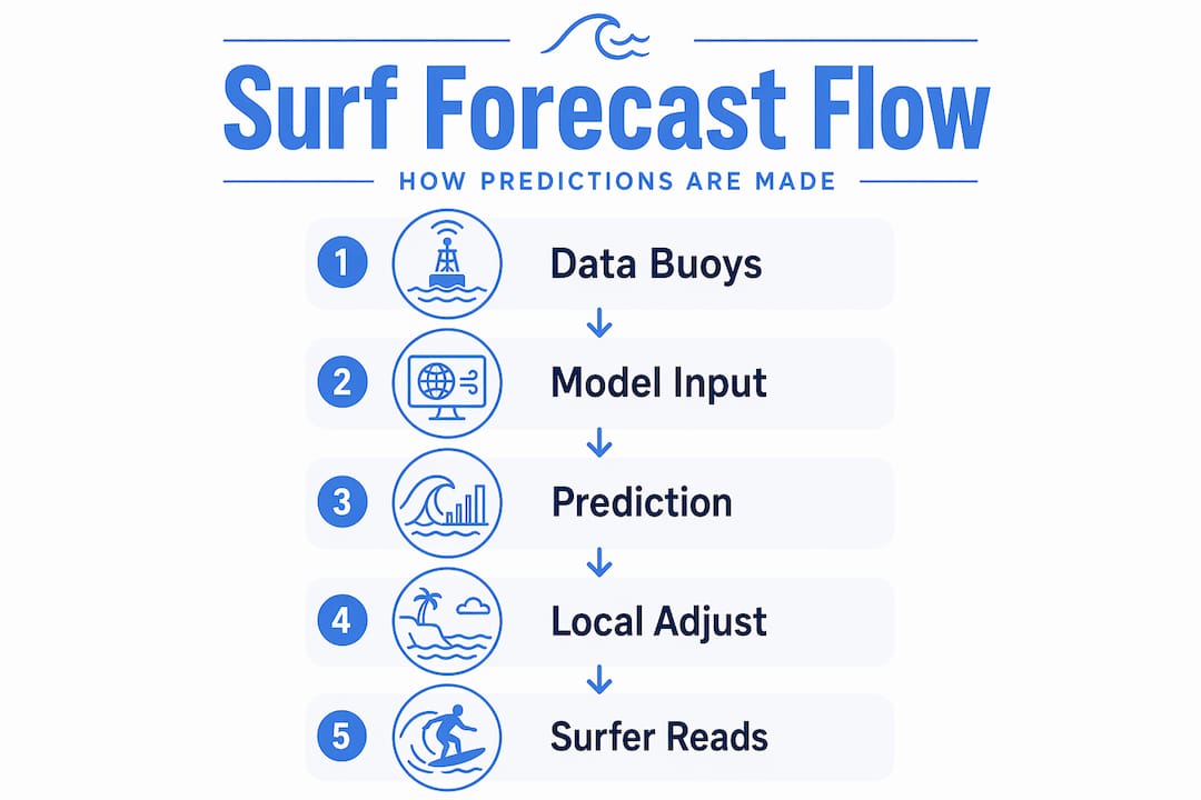
It starts with wave buoys. These devices measure sea-surface motion using GPS or accelerometers, capturing three-dimensional positioning multiple times per second over 30-minute intervals. That raw motion data gets processed through Fast Fourier Transform algorithms to produce usable wave height, period, and direction readings. Satellites and weather stations then add atmospheric data, feeding everything into numerical forecast models.
The three models you’ll encounter most often:
Model | Best Use | Limitation |
WaveWatch III | Short-range forecasts (1-3 days) | Loses accuracy in complex coastal zones |
ECMWF | Medium-range planning (4-7 days) | Slower update cycles |
Open-Meteo | Free, accessible, good for trends | Less refined for surf-specific detail |
Partnerships like the one between NOAA and Sofar Ocean are actively improving wave model accuracy by integrating private-sector observational networks with traditional government data sources. Still, forecast models disagree on wave height 85% of the time, which is a sobering reminder that no single number is gospel.
Pro Tip: WaveWatch III tends to overestimate wave height in short-period swells. If you’re seeing big numbers on a wind-swell day, check a second model before celebrating.
The hardest problem in surf forecasting is not modeling the open ocean. It is what happens in the last mile. Wave forecasting errors spike during the transformation of offshore swell into locally shaped waves, because bathymetry, headlands, sandbars, and reefs affect each break in ways that no global model can fully capture. That is why local observation will never be replaced by software.
Putting forecast data to work before you paddle out
Knowing what each forecast variable means is step one. Using multiple data layers together is where surfers actually gain an edge. Here is a practical process worth building into every session plan:
Start with two forecast models. Pull up WaveWatch III and ECMWF for the same spot and same time window. When both models agree on wave height and period, your confidence in the forecast can increase. When they diverge significantly, treat the session as less predictable and plan accordingly.
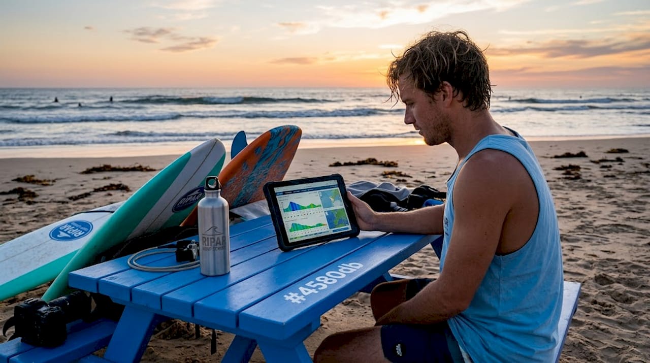
Check a live webcam. Layering forecast data with on-site webcams, tide records, and local reports creates a decision system that is far more reliable than any single source. A webcam will confirm wind direction, crowd level, and actual wave shape in real time.
Review local tide history. Most surf spots have documented sweet spots. Low tide at a reef may produce a perfect barrel; the same reef at high tide may be unsurfable. Consult tide charts and cross-reference with your own log from previous sessions.
Talk to a local. No app replaces the person who surfed that beach yesterday. Local surfers and experienced instructors carry years of pattern recognition about how a specific break responds to specific swell and wind combinations.
Update your forecast log. Tracking which forecast sources are most reliable for your local breaks over time builds a personal accuracy baseline that compounds in value. After six months of logging, you will know exactly which model to trust for your home break.
Pro Tip: Forecast tools that provide confidence intervals and update frequently help you avoid wasted trips. If a tool only shows one number and no uncertainty range, treat it as a starting point, not a final answer.
Surf forecasting as a safety tool
This is where the importance of surf forecasting becomes undeniable. Ocean conditions are not just about wave quality. They are about survival.
“Rip currents can form on calm-looking days and reach speeds up to 8 feet per second, faster than any Olympic swimmer.” (Weather.com)
Rip currents cause over 80% of lifeguard rescues and more than 100 deaths annually in the US alone. A surf forecast helps you identify conditions that generate rip currents before you ever set foot on the sand. Low tides, moderate wave heights, and specific wind conditions are all flags worth reading before paddling out.
Key safety practices tied directly to forecast data:
Check tidal stage and movement, not just height, because fast-moving tides accelerate rip formation.
Treat a forecast flagging moderate wave heights at low tide as a rip current risk, even on a “small” day.
Match forecast data with real-time observation before entering the water. A forecast might look clean, but a live look at the beach can reveal visible rip channels.
If you do get caught in a rip current, never fight it directly. Swim parallel to shore to escape the current’s flow, stay calm, and signal for help. Your board provides buoyancy. Use it.
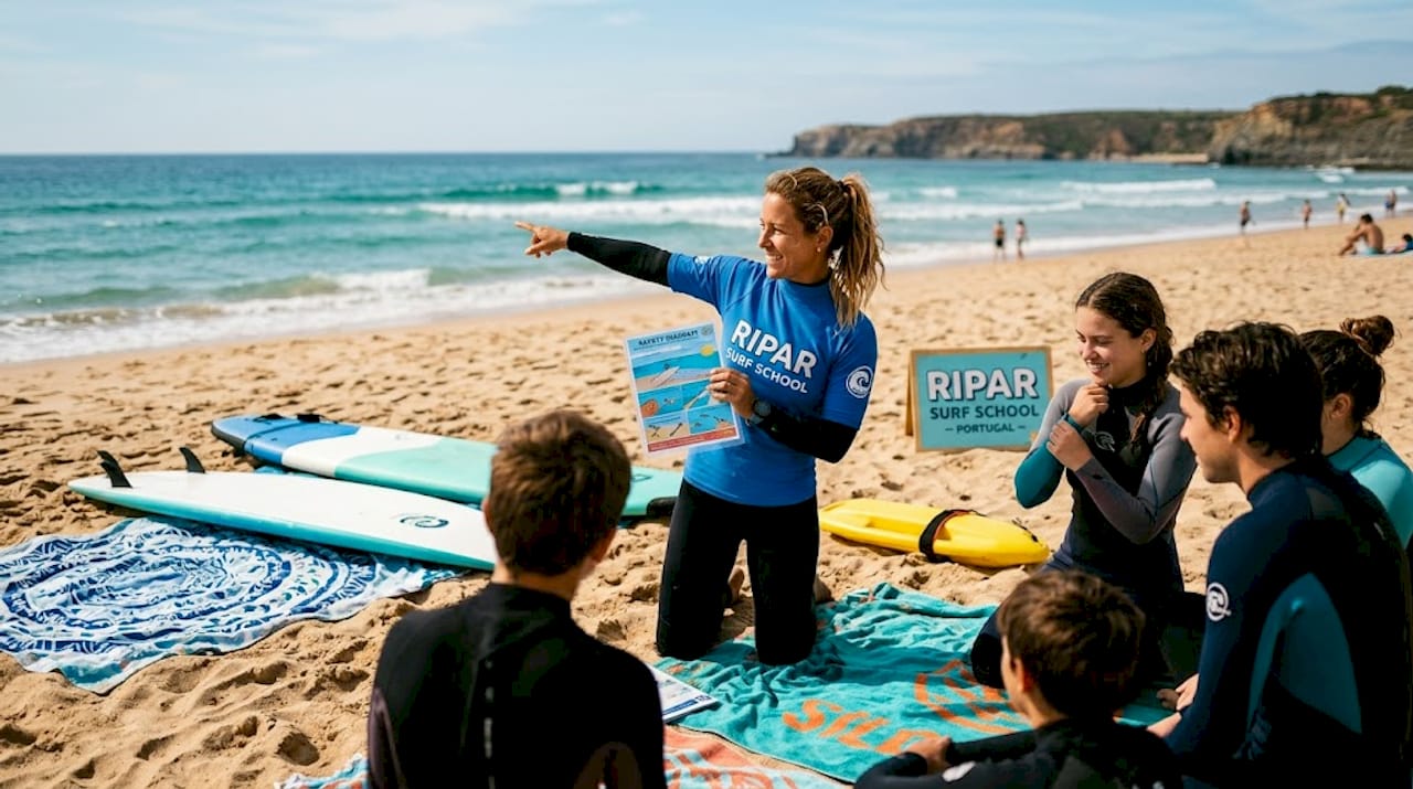
The safety benefits of surf forecasting are not hypothetical. They are the reason professional surf schools and certified instructors monitor forecasts as part of every lesson plan, not just for wave quality, but for hazard identification.
My take on forecasts: they are a tool, not an oracle
I have been watching surfers show up to sessions with total confidence in a four-star app rating, only to find blown-out surf, strong rips, and a beach that nobody else is touching. The most common mistake in surf forecasting is treating it as a definitive prediction rather than a probabilistic guide.
What I have learned from years of surfing Portugal’s coast is that the forecast is where the planning starts, not where it ends. I build a layered system: two models, a webcam, a tide chart, and a quick check with whoever surfed the break that morning. When all of those agree, I paddle out with confidence. When they contradict each other, I adjust my expectations before I even wax my board.
The surfers who get the most out of forecasting are not the ones chasing the highest star rating. They are the ones who understand that forecast accuracy is better judged over time than session by session. Build your system, track your results, and the ocean becomes a lot more readable over months, not just mornings.
— Fernando
Learn to read the ocean with real instructors
Understanding surf forecasting on paper is one thing. Applying it in the water with confidence is another.

At Riparsurfschool, based in Praia Areia Branca near Peniche and Ericeira, our certified local instructors monitor surf forecasts before every session so you learn in conditions that match your level. Whether you book a group surf lesson or want personalized attention through a private session, every class is planned around real forecast data and real-time ocean observation. Our instructors bring decades of experience reading Portugal’s famously dynamic surf, which means you learn faster and stay safer. Ready to put your forecasting knowledge into action? Book your surf lessons online and experience the difference that expert guidance makes.
FAQ
What is surf forecasting?
Surf forecasting is the process of predicting ocean wave conditions including swell height, wave period, wind, and tide using meteorological data, wave buoys, satellites, and numerical models. It helps surfers plan safer and more productive sessions.
Why are surf forecasts important for safety?
Surf forecasts help identify hazardous conditions like rip currents, which cause over 80% of lifeguard rescues. Reading forecast data before entering the water is one of the most effective ways to reduce ocean risk.
What is a surf forecast model?
A surf forecast model is a numerical system that processes atmospheric and ocean data to predict wave conditions. Common examples include WaveWatch III, ECMWF, and Open-Meteo, each with different strengths depending on the forecast time range.
Why should I compare multiple surf forecast models?
Because models disagree on wave height 85% of the time, comparing two or more models helps you gauge forecast confidence. When multiple models align, your session plan becomes more reliable.
How do I get better at reading surf forecasts?
Keep a log comparing your forecast expectations with actual session conditions at your local breaks. Over time, this builds a personal accuracy baseline that makes you far better at predicting what will show up in the water.
Recommended
Comments